July 2007 | home thanetonline.com michaelsbookshop.com Click here for books about The Isle of Thanet Dangerous cliff ?
this link takes you to the rest of my Pleasurama site this link takes you to my previous correspondence
July 2007 | Thanet District Council press release | Pleasurama update 6/6/2007 another years delay! | The temporary railings | Ramsgate | latest news | heads embedded in the concrete | Simon Moores Thanet life | Michael Child | Latest views | Details from the latest plans | Pictures 2007 | April 2007 | April replies | Replies to my email about the new introduction January 2007 | David Green | pleasurama update | Seafront site ready for rejuvenation | Companies House Search | correspondence | prompt replies | Action | Riddles | Committee | more | Follow up | councillors | councillors revised | spam your councillors | Councillors responses | Economical with the truth | The Member Portal | Taking the member out of the portal | Ken Gregory | Gerry O'Donnell | survey | May 2007 | Cracks over the voids | Engineers report on the condition of the cliff | more report | election results
My attempts learn about the Pleasurama project have lead me into a dialogue with Thanet District Council about their website and the way they pass on correspondence to councillors. Click on the links above to read the correspondence.
April 2007
Over the weekend I managed to successfully work out the tidal surge level above datum that has occurred in Ramsgate in the past. In the simplest terms it is about the same level as the floor of the new building.
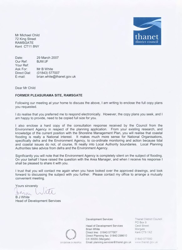
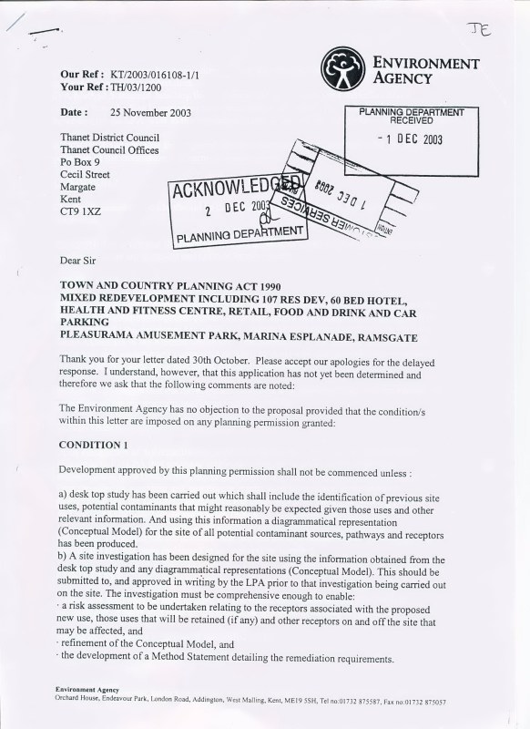
I have also had a very helpful letter from Brian White, who has promised to take up the matter with the environment agency for us. He also sent me the plans, unfortunately there was a mistake and I didn't get copies of all the latest sheets, however I am sure he will send them so I can accurately measure them.
Below calculations, explanations, newspaper article on the 1953 tidal surge (courtesy EKMT) and the letters.
Best Michael.
All measurements of height above sea level on maps, navigational charts and architectural drawings are above datum, this is the lowest level reached by a low tide.
The height for the harbour cross wall above datum is 6 meters, in the end I went down there with a navigational chart and measured it. I have documentary evidence that it is flooded by a depth of as much as 0.45 meters during tidal surges, this weeks ordinary spring tides being 5 the level of the car new park at best being 6.2 and the floor of the new building at best 6.45 taking into account the probable effects of global warming it would seem that a level of 7.3 could occur in the next 50 years. With any sort of sea running there could be a catastrophic situation.
Thanet Advertiser and Echo 3rd Feb 1953
Hundreds of tons of sand, flints and chalk boulders were washed up on to the Colonnade and the Royal Victoria Pavilion looked as if it was actually on the beach.
Further along the Marina, public seats were smashed and summer kiosks damaged. A twelve-ton crane which was being used for the removal of flints was carried along the promenade and swung into the roadway by the force of the seas.
At the eastern end of the seafront, a door was torn off the public toilet accommodation and a large stone slab lifted.
Ramsgate's Marina Bathing and Boating Pools were filled brimful and dressing accommodation and storerooms completely flooded. Examination of the fabric of the pool's walls showed, however, that there had been no structural damage and their opening for the 1953 season will not be retarded in any way.


My reply to Brian white.
Dear Brian.
Thank you for the plans which have arrived safely, all the sheets seem to be the right ones apart from the most important ones, (section AA BB and rear elevation PL 13-107) unfortunately you sent me revision D amended Aug 2003 i.e. the one where the building is bigger on the inside than the outside. What I need is revision E amended 22 Sept 2005 please could you send it? I have a suspicion that all is not quite right with revision E but it is very difficult to tell from the online version. The strangest of all received though is (elevations PL 13-106 revision F Jan 2005) I think I should have been sent revision E Aug 2005. the most unusual aspect is the side elevation (south west) that shows a lorry the top of which is higher than the roof of the car park, so that it is passing though the structure of the building like a ghost, which is shown as less that 4 meters. Looking at the plans online it would appear that the height of the ceilings have been lowered to well below building regulations in order to reduce the height of the overall building.
I didn't receive the seismic survey that I hope you will include with the August 2005 revisions.
I now have a reasonably accurate height for the harbour cross wall above datum, i.e. 6 meters, in the end I went down there with a navigational chart and measured it. I have documentary evidence that it is flooded by a depth of as much as 0.45 meters during tidal surges, this weeks ordinary spring tides being 5 the level of the car new park at best being 6.2 and the floor of the new building at best 6.45 my measurement of the height of the pavilion floor comes out slightly higher than I thought at 6.3 taking into account the probable effects of global warming it would seem that a level of 7.3 could occur in the next 50 years. With any sort of sea running there could be a catastrophic situation, since it has taken me 3 months to come up with accurate figures supported by documentary evidence I am not surprised that no one else picked this up before.
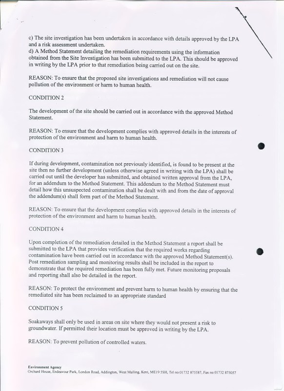
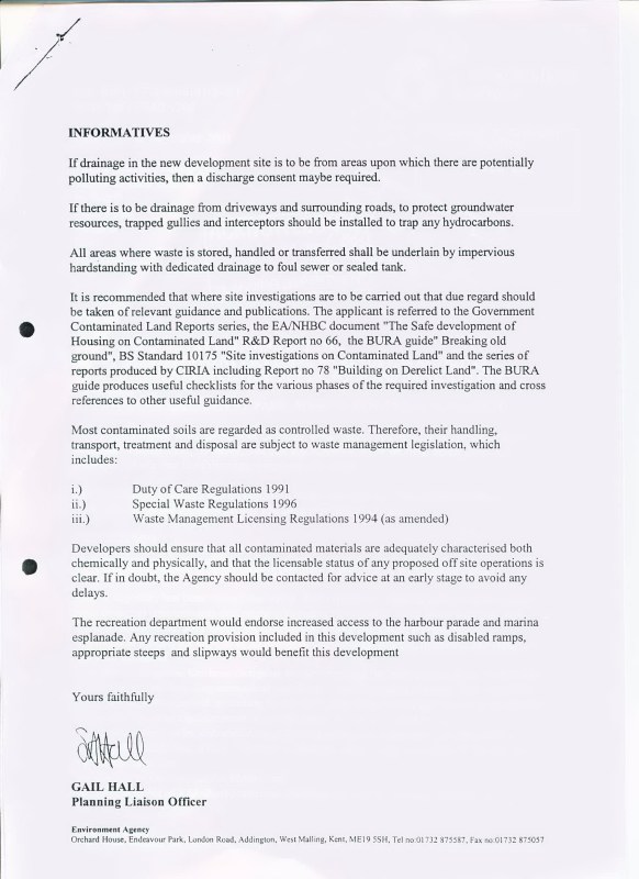
Thank you for your letter, I too am surprised that the environment agency didn't have anything to say about the flood and storm protection, I think perhaps that when they were first consulted they missed just how low the building will be, because there are no measurements above datum on the elevations or sections. When I spoke to the environment agency on the phone they said that building on the promenade at a level of about 6 was something that they would recommend strongly against.
Once I have had time to study all of the documents I think a further meeting would be mutually beneficial, I am genuinely sorry that I didn't notice the significance of the height above datum earlier, as someone who has used navigational charts and tide tables locally I should have done, I have watched the cross wall disappear on several occasions, it would have saved a lot of trouble if I had registered the significance.
Kind regards Michael.